Episode 14 · Radiosondes · Series 01: The Listening Station
What does a weather balloon feel on the way up?
 Coming soon
- Release
- Coming soon
- Length
- 6:30
- On the dial
- 400 to 406 MHz
- Signal
- Radiosondes
What it covers
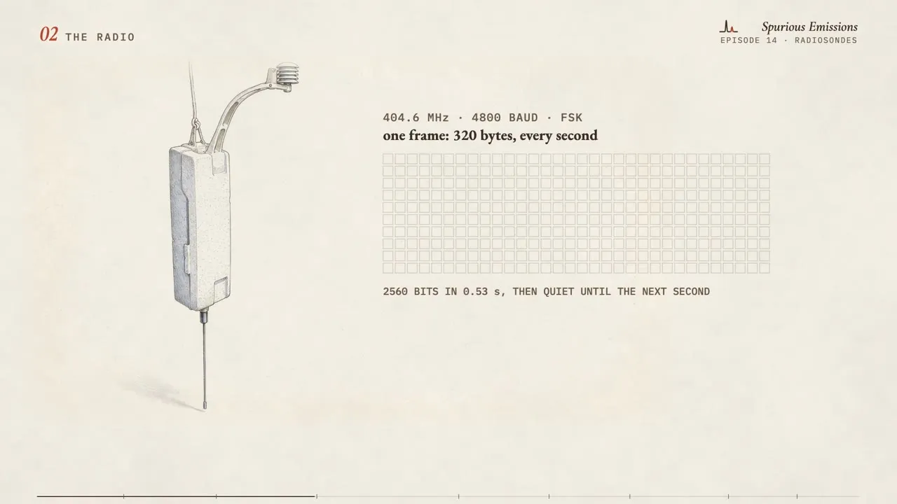
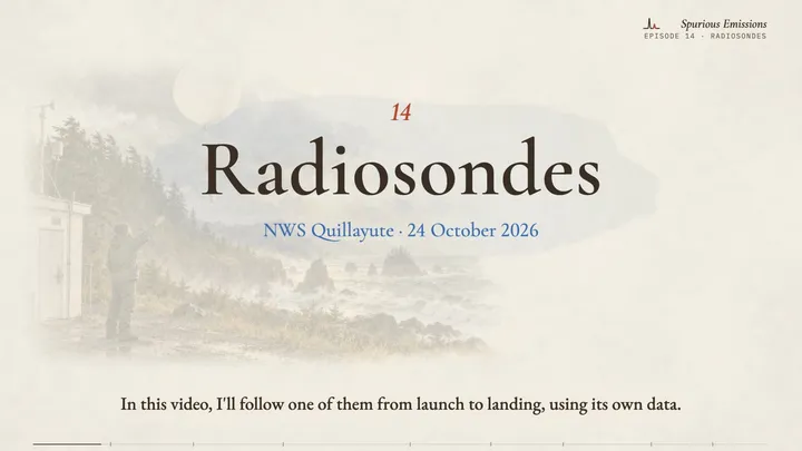
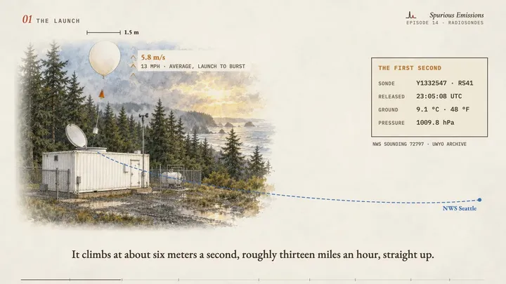
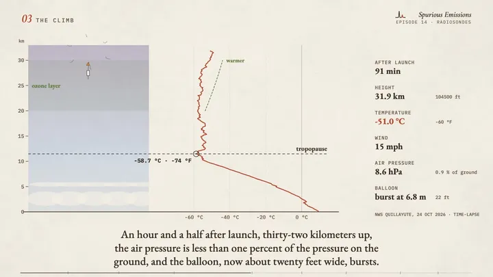
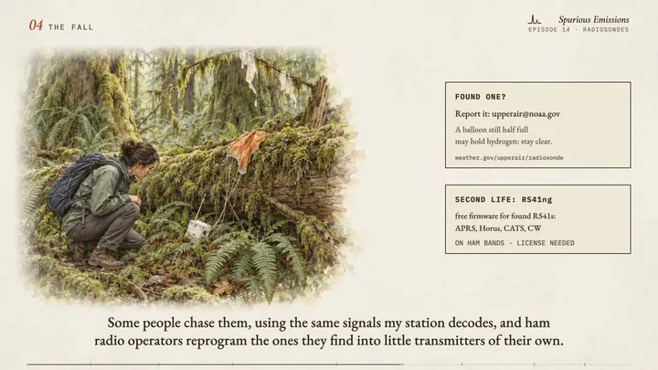
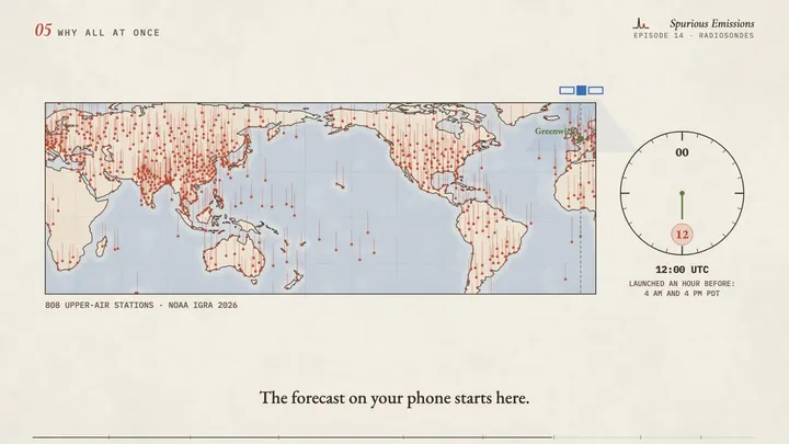
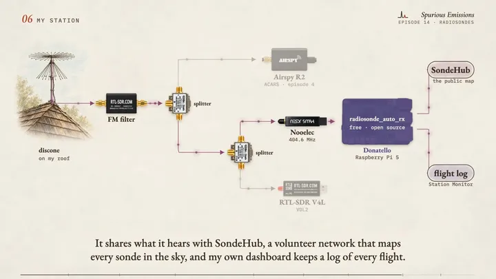
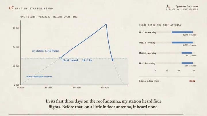
Twice a day, at about 800 places around the world, a weather balloon carries a small radio, a radiosonde, to the edge of space. In this video I follow one real flight from the National Weather Service site at Quillayute on the Washington coast, launched by a robot: its climb through the jet stream, the tropopause at minus 59 °C, the warmer air of the ozone layer, the burst at 32 kilometers and the fall toward the Strait of Juan de Fuca, all from its own data. Then why every site launches at the same two moments, what to do if you find one, and how my own station in the Puget Sound hears these flights with the same roof antenna as the aircraft messages, a small radio dongle and the free program radiosonde_auto_rx.
Chapters
- 0:00Intro
- 1:22The launch
- 2:12The radio
- 2:52The climb
- 3:43The fall
- 4:17Why all at once
- 4:59My station
- 5:41What my station heard
- 6:08Intro
Frames from the draft
Gear in this episode
| Diamond D-130J discone antenna | the wide-band antenna on my roof (25 to 1300 MHz) |
| RTL-SDR Blog FM band-stop filter | the filter that blocks FM broadcast stations on my wide antenna |
| Mini-Circuits ZX10-2-12-S+ splitter | feeds two radios from one antenna (mine came from a surplus dealer) |
| Nooelec NESDR SMArt v5 | the USB radio I use for radiosondes |
| Raspberry Pi 5 | the small computer that runs the decoder |
| Rosonway RSH-A10 powered USB hub | feeds power and data to the radios on Donatello |
| Short SMA jumper cables | connect filter, splitter and radios |
Software and references
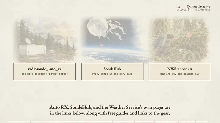
| radiosonde_auto_rxgithub.com | the free decoder my station runs (Project Horus) |
| SondeHubsondehub.org | the volunteer network and live map of every sonde in the sky |
| NWS upper air programweather.gov | how and why the Weather Service flies them, and what to do if you find one |
| University of Wyoming upper-air archiveweather.uwyo.edu | every official sounding, including the flight in this video (station 72797) |
| RS41nggithub.com | free firmware that turns a found RS41 into a ham radio transmitter |
What is simplified, and what is invented
- The flight is real: NWS Quillayute, 24 October 2026, sonde Y1332547. The climb is the official sounding (University of Wyoming archive), the fall is from SondeHub's public archive, and the part my station heard is from its own decoder log.
- The drawings of the launch, the sonde, the burst and the find are illustrations of generic scenes. Quillayute launches with an automatic launcher (NWS notice SCN 20-87); the hand launch shows how most of the world's sites do it.
- The balloon's size in the climb is computed from the sounding's temperature and pressure (the gas law), starting from 1.5 m at launch.
- The world map shows every upper-air station with data in 2026 in NOAA's IGRA station list.
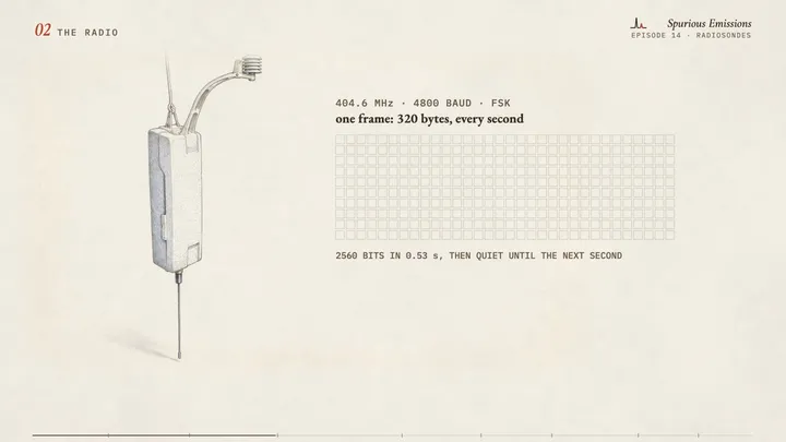
- The sonde's sound is made by code from the RS41's real numbers (4800-baud FSK, one 320-byte frame a second); it is not a recording.
- The coastline is Natural Earth (public domain).